




time2map

Maps and GIS solutions built by specialists

We design and build interactive maps, GIS platforms and data-driven web apps for startups, NGOs, and businesses worldwide

What we do?

Maps & GIS Solutions

  • Custom interactive maps with Mapbox/Maplibre, Leaflet
  • Geospatial analysis & visualization (QGIS, ArcGIS, GDAL, FME)
  • Mobile Offline maps
  • 3D maps with Cesium / terrain models
  • Tile servers, spatial databases (GDB, PostGIS, Geoserver, QGIS Server, Titiler)
  • CAD ↔ GIS (FME, GDAL)
  • Web cartography with Mapbox Studio
  • Geodata preprocessing, digitizing

Full-Stack Web Development

  • UX / UI Design with Figma, prototyping and responsive design
  • Business + System Analysis
  • Frontend development with popular frameworks (React / Vue / Angular)
  • Backend development with Python / Java
  • Quality Assurance: auto / manual tests
  • Software Architecture
  • CI/CD & cloud deployment
  • High-load

Can you handle my use case?

We have a Figma prototype – can you turn it into a working app?

Yes. We’ll convert your designs into responsive, production-ready web apps using React, Vue, and modern frameworks.

Can you connect our data to an API and visualize it?

Yes. We can build backend APIs and frontend components to display and interact with your data in real time.

We need an admin dashboard with charts and map layers.

Yes. We specialize in building intuitive admin panels with dynamic charts, filters, and map-based interfaces.

I want a full platform with login, maps, and analytics.

Yes. We design and develop secure, full-stack platforms with custom maps, user authentication, and analytics dashboards.

I have an idea but don't know where to get data for it. Can you help?

Yes. We’ll guide you through open geodata sources, assist with parsing, and help you preprocess the data for your project.

We need a system to collect data and moderate it before going public. Can you build that?

Yes. We can create data collection workflows with moderation dashboards and approval flows before publishing.

I need a web-GIS that works in my private network. Can you set that up?

Yes. We can prepare a custom web-GIS based on open-source tools and deploy it within your organization’s private network.

I only have scanned paper maps. Can you digitize them?

Yes. We process raster maps and convert them to vector GIS layers.

Can you track vehicles live on a map?

Yes. We’ve built real-time GPS tracking dashboards before.

I have Excel data and want an editable web map. Possible?

Yes. We specialize in creating map-based CRUD tools.

We need a 3D map for our real estate project — can you help

Absolutely. Cesium and 3D Tiles are part of our stack.

Can you create a map with offline support for remote areas?

Yes. We build offline-first web maps using Mapbox GL, TileServer, and MBTiles.

Meet Alex

Alexander Semenov

I lead every project personally and bring in trusted specialists when the scope demands it

Alexander Semenov
Founder | 10+ years in GIS & Web development
Top Rated Plus on Upwork 100% Job Success on Upwork

Alexander was an absolute pleasure to work with, he did everything we asked of him and more. Truly a expert in his subject matter, he provided the guidance we needed and achieved the results we were looking for. I would highly recommend him to anyone.

5 out of 5 stars
Dan Whitson
Edgewise Energy, USA

Great experience working with these Python developers. They successfully completed all tasks with high quality and attention to detail. Communication was always clear, and they were very responsive and responsible throughout the project. I would definitely recommend working with them and would be happy to collaborate again in the future.

5 out of 5 stars
Alfiya Tarasenko
Geoapify, Cyprus

How We Work?

We designed our process to make it easy to get started and build trust early on.

1

40-min FREE consultation

We'll listen to your needs, suggest the best approach and technologies, and answer all your questions.

By the end of the call, you'll know exactly how we can help.

Book a call
2

7-days trial

Start working with us for 7 days without commitment. Test our communication, skills, and workflows.

If you're satisfied, we'll include these 7 days in the project contract.

3

Kickoff & roadmap

We prepare a clear roadmap with milestones, delivery timelines, and responsibilities. Together we decide the best collaboration model:

Fixed-price for well-defined scopes

Time & Material for flexible, evolving projects

Hybrid a mix of both, tailored to your needs

4

Delivery & support

We deliver high-quality solutions on time and provide ongoing support if needed.

From deployment to maintenance, you're covered.

See Our Work

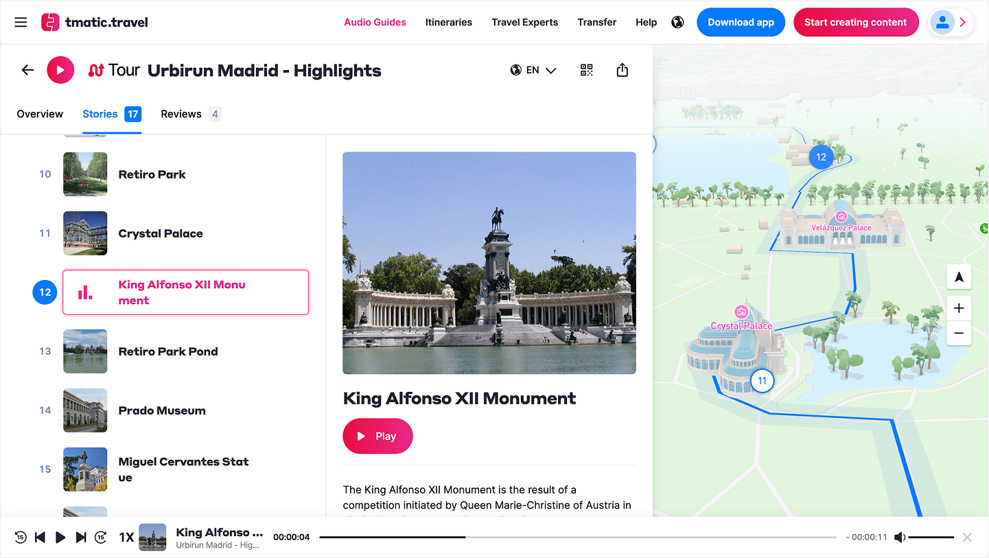
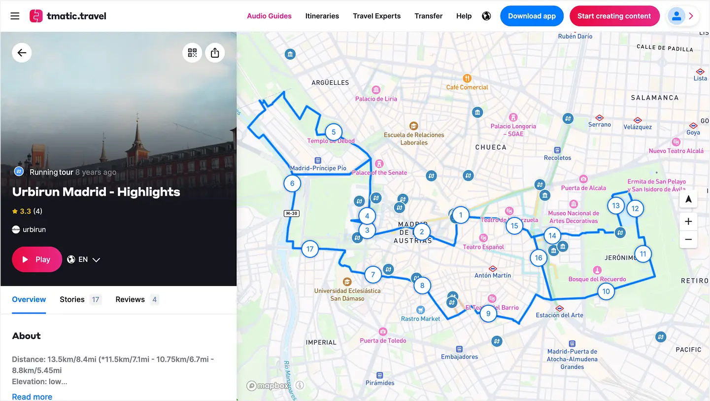
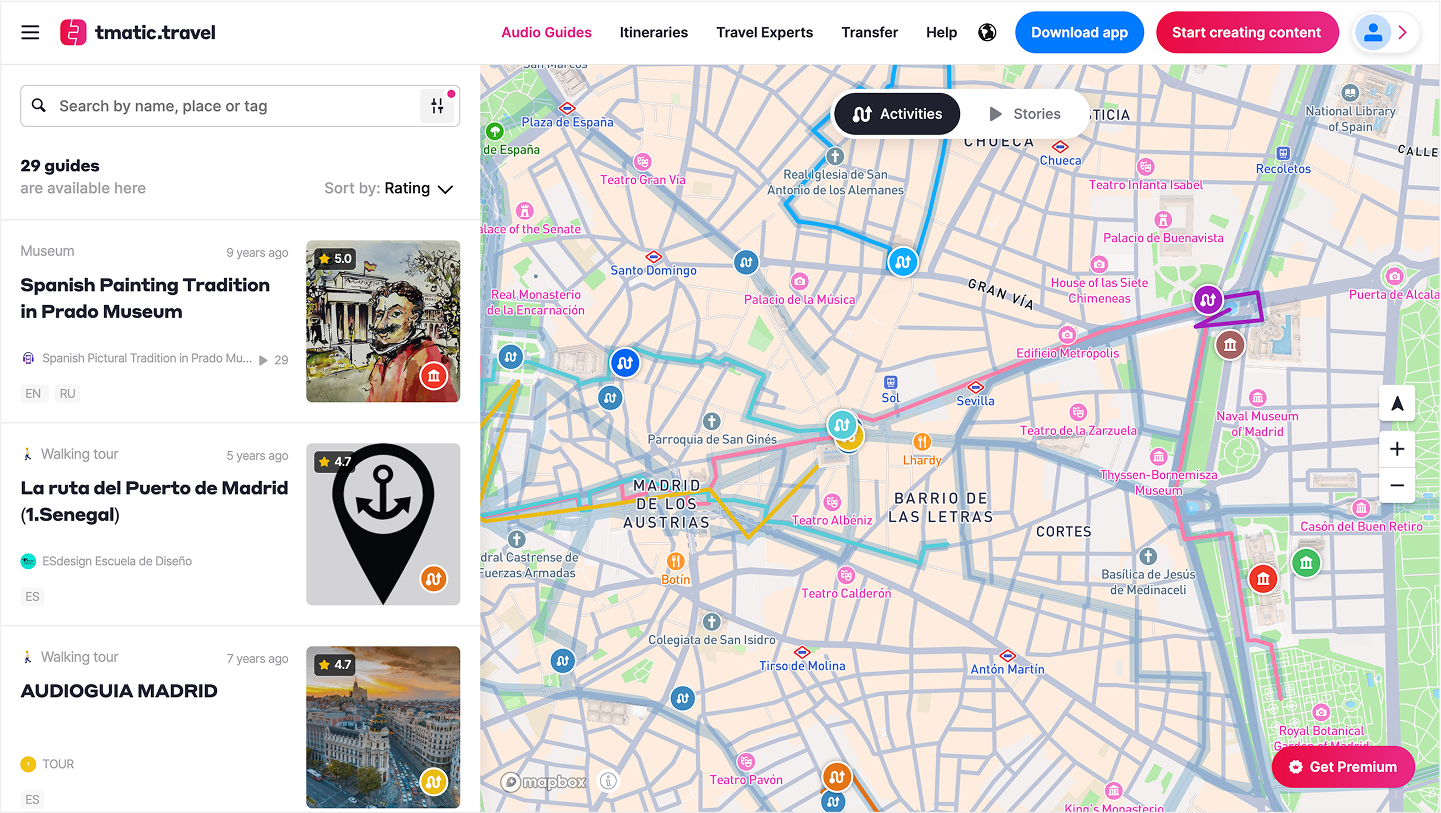
Audio Guides Mapping Platform: CMS, Public View & API — screenshot 1Audio Guides Mapping Platform: CMS, Public View & API — screenshot 2Audio Guides Mapping Platform: CMS, Public View & API — screenshot 3

Audio Guides Mapping Platform: CMS, Public View & API

angularjava springpostgismapboxelasticsearch

Built a full-stack map platform for the founders of izi.TRAVEL, powering tmatic.travel. The system hosts 20 000+ audio tours and 500 000+ stories worldwide. Developed a CMS for curating content, a responsive public map view (Angular, Mapbox) with 2D and 3D modes, and an API for external partners. Includes a dedicated indoor mode for museums and cultural venues to explore audio content without maps. Backend (Java Spring, PostGIS) ensures seamless delivery for travelers and cultural institutions globally.
Try it
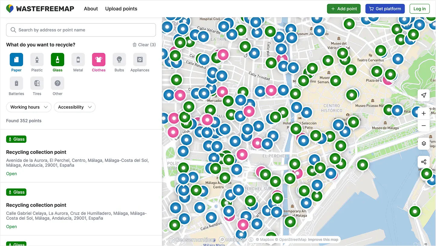
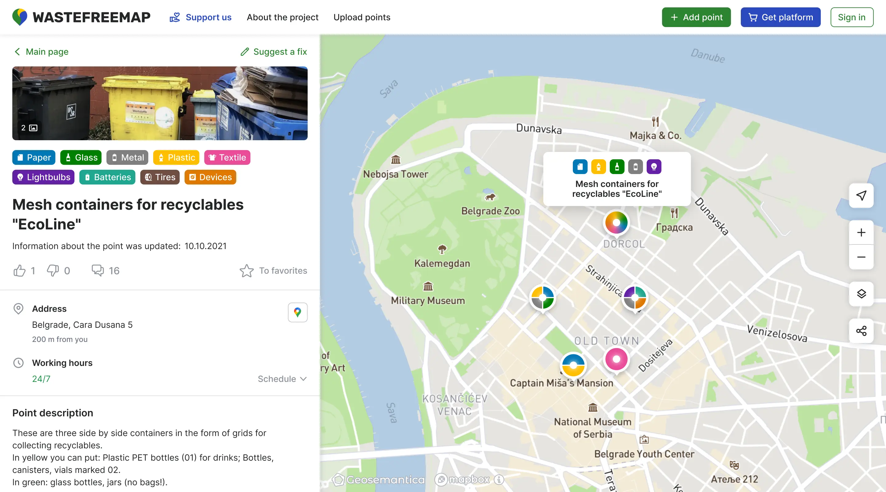
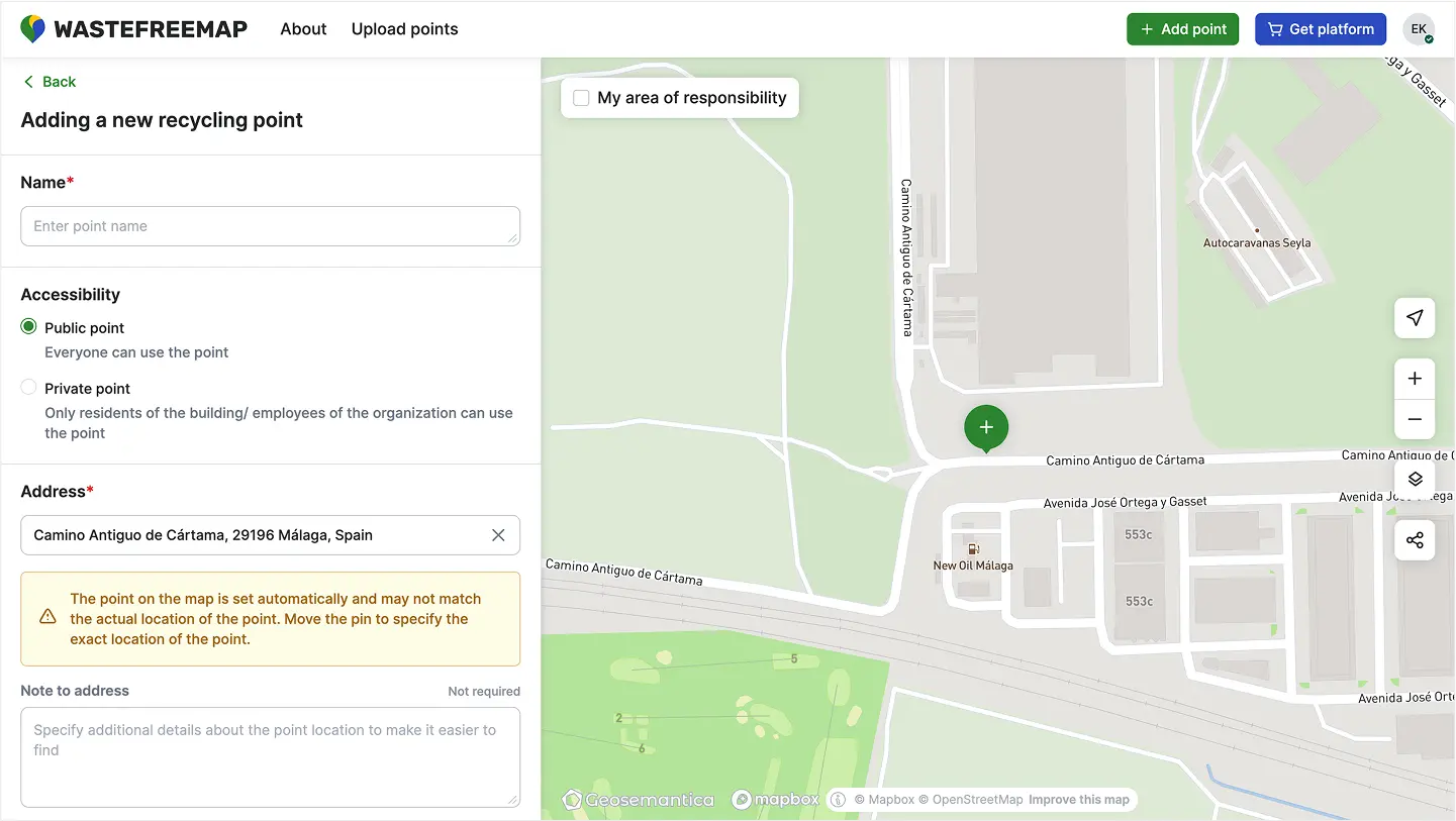
Crowdmapping Platform for Recycling Points: Web & Mobile — screenshot 1Crowdmapping Platform for Recycling Points: Web & Mobile — screenshot 2Crowdmapping Platform for Recycling Points: Web & Mobile — screenshot 3

Crowdmapping Platform for Recycling Points: Web & Mobile

Mapbox GL JSPythonPostgreSQLAngularh3

Developed a crowdmapping platform for Greenpeace’s Recyclemap project, enabling volunteers to map and manage recycling collection points across the country. Built mobile and desktop web apps (Angular, Mapbox GL) for adding, updating, and moderating recycling and ZeroWaste locations. Backend (Python, PostGIS, Martin, H3 clustering) processes OSM data and powers scalable spatial queries. The system empowers communities to contribute and access up-to-date information on waste-free living, supporting thousands of active users.

Try it
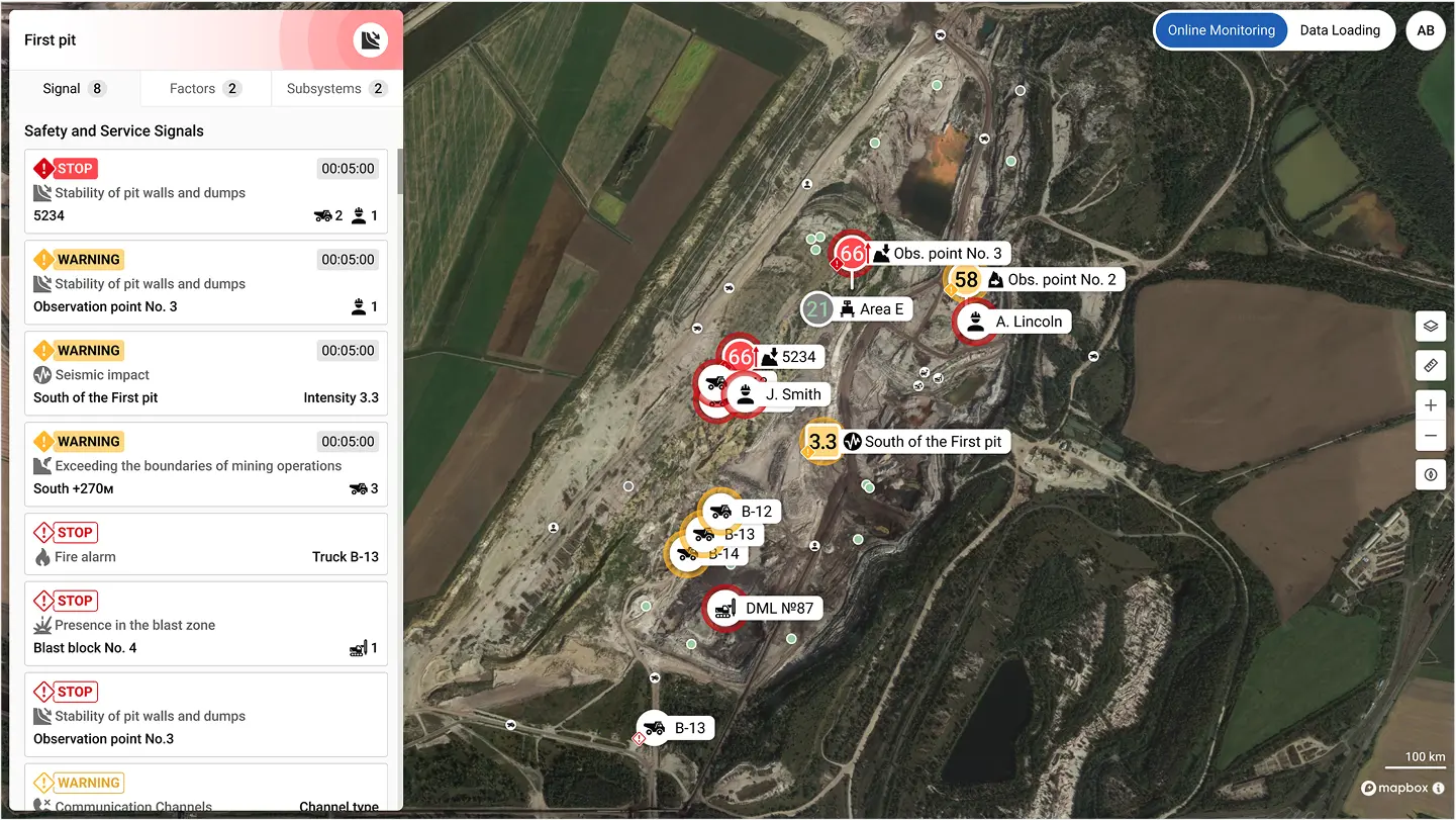
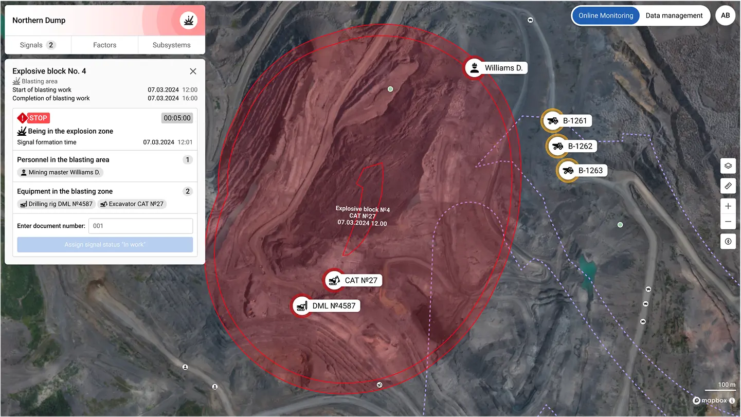
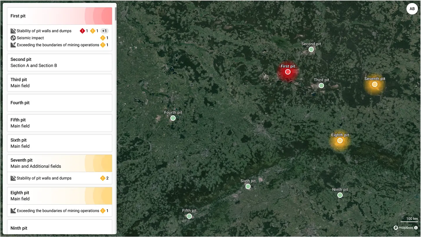
Coal Mining Safety Platform: Digital Twin & Realtime Monitoring — screenshot 1Coal Mining Safety Platform: Digital Twin & Realtime Monitoring — screenshot 2Coal Mining Safety Platform: Digital Twin & Realtime Monitoring — screenshot 3

Coal Mining Safety Platform: Digital Twin & Realtime Monitoring

java springreactrabbitmqkubernetespostgis

Designed and built a safety monitoring platform for coal mines and processing plants, aggregating data from diverse sensors (radars, gas detectors, GPS, radio, and more) into a single dispatcher interface. The system provides a digital twin of operations, showing realtime metrics, alerts, and object locations on interactive maps. Developed as a SPA (React, MapLibre) with a microservices architecture (Java Spring, Python, RabbitMQ, Kubernetes, MongoDB, PostgreSQL). Delivered a unified solution that replaced fragmented tools and manual monitoring, enabling faster incident response and improved operational safety.

Technologies

Design

Figma Adobe

Frontend

React TypeScript Angular

Backend

Java Python PostgreSQL MySQL MongoDB RabbitMQ APISIX AWS TimescaleDB Keycloak Redis Elasticsearch

QA

Cypress Postman Charles Proxy BrowserStack JMeter Kibana Qase

DevOps

Kubernetes AWS Docker Ansible GitLab

Geoservices

Mapbox Leaflet h3 PostGIS Martin OSM

GIS

QGIS GRASS FME