time2map

Use Cases

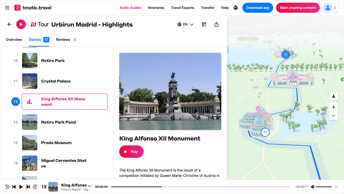
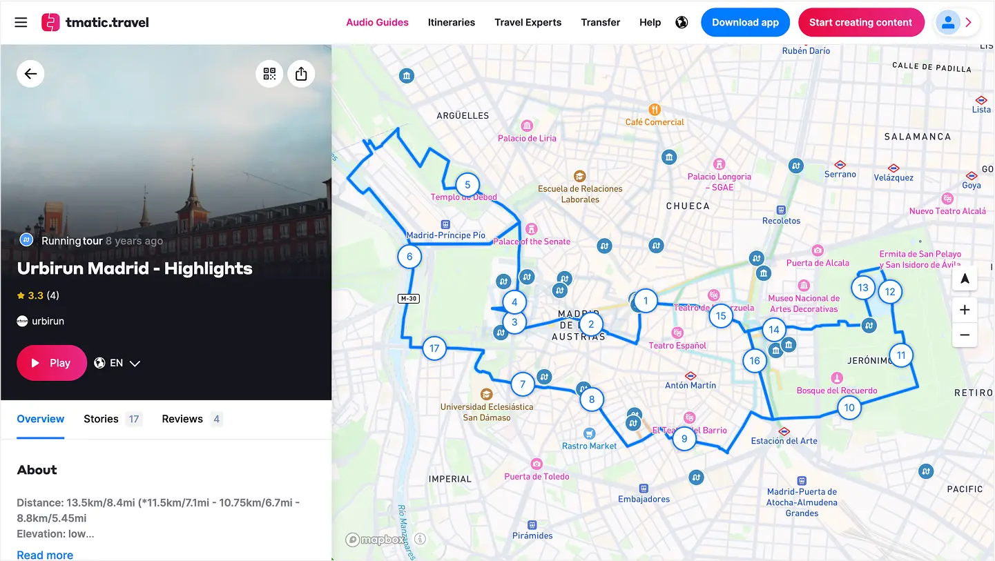
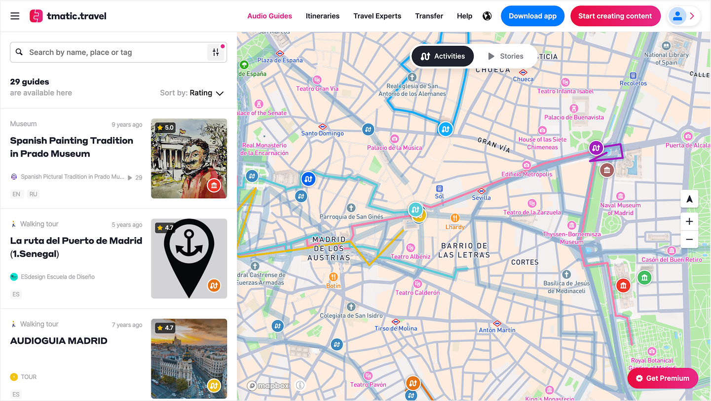
Audio Guides Mapping Platform: CMS, Public View & API — screenshot 1Audio Guides Mapping Platform: CMS, Public View & API — screenshot 2Audio Guides Mapping Platform: CMS, Public View & API — screenshot 3

Audio Guides Mapping Platform: CMS, Public View & API

angularjava springpostgismapboxelasticsearch

Built a full-stack map platform for the founders of izi.TRAVEL, powering tmatic.travel. The system hosts 20 000+ audio tours and 500 000+ stories worldwide. Developed a CMS for curating content, a responsive public map view (Angular, Mapbox) with 2D and 3D modes, and an API for external partners. Includes a dedicated indoor mode for museums and cultural venues to explore audio content without maps. Backend (Java Spring, PostGIS) ensures seamless delivery for travelers and cultural institutions globally.
Try it
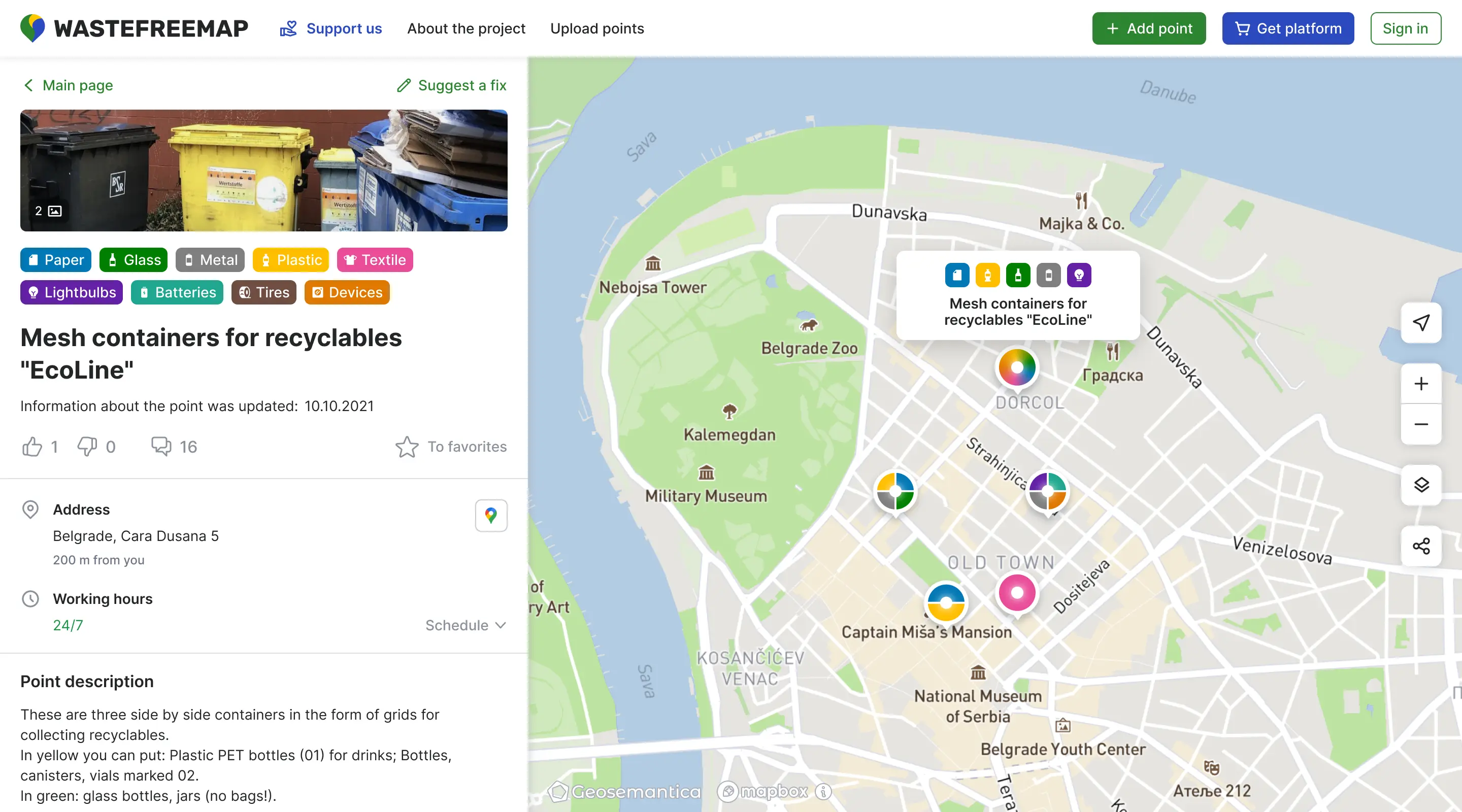
Crowdmapping Platform for Recycling Points: Web & Mobile — screenshot 1Crowdmapping Platform for Recycling Points: Web & Mobile — screenshot 2Crowdmapping Platform for Recycling Points: Web & Mobile — screenshot 3

Crowdmapping Platform for Recycling Points: Web & Mobile

Mapbox GL JSPythonPostgreSQLAngularh3

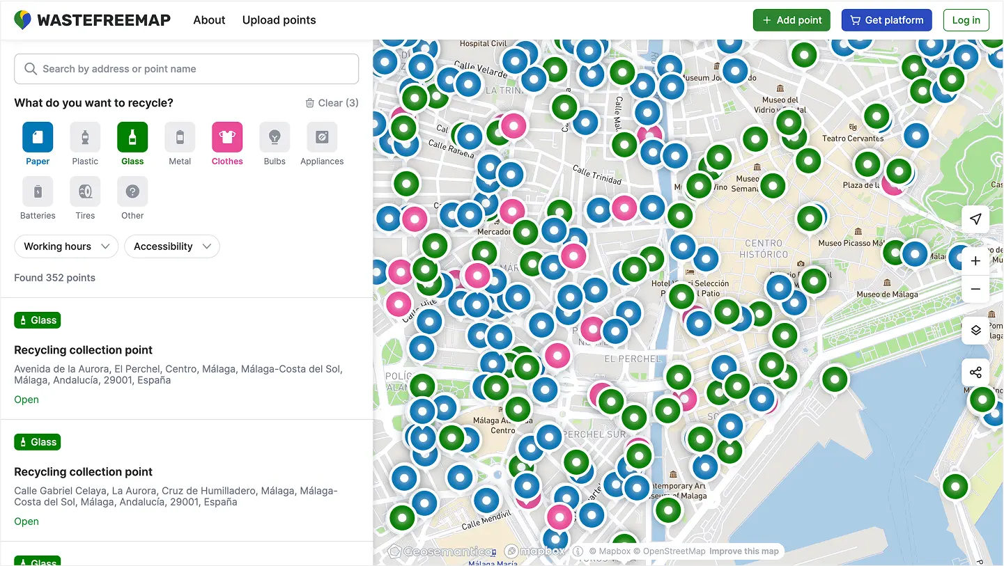
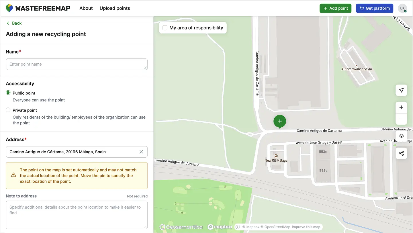
Developed a crowdmapping platform for Greenpeace’s Recyclemap project, enabling volunteers to map and manage recycling collection points across the country. Built mobile and desktop web apps (Angular, Mapbox GL) for adding, updating, and moderating recycling and ZeroWaste locations. Backend (Python, PostGIS, Martin, H3 clustering) processes OSM data and powers scalable spatial queries. The system empowers communities to contribute and access up-to-date information on waste-free living, supporting thousands of active users.

Try it
Coal Mining Safety Platform: Digital Twin & Realtime Monitoring — screenshot 1Coal Mining Safety Platform: Digital Twin & Realtime Monitoring — screenshot 2Coal Mining Safety Platform: Digital Twin & Realtime Monitoring — screenshot 3

Coal Mining Safety Platform: Digital Twin & Realtime Monitoring

java springreactrabbitmqkubernetespostgis

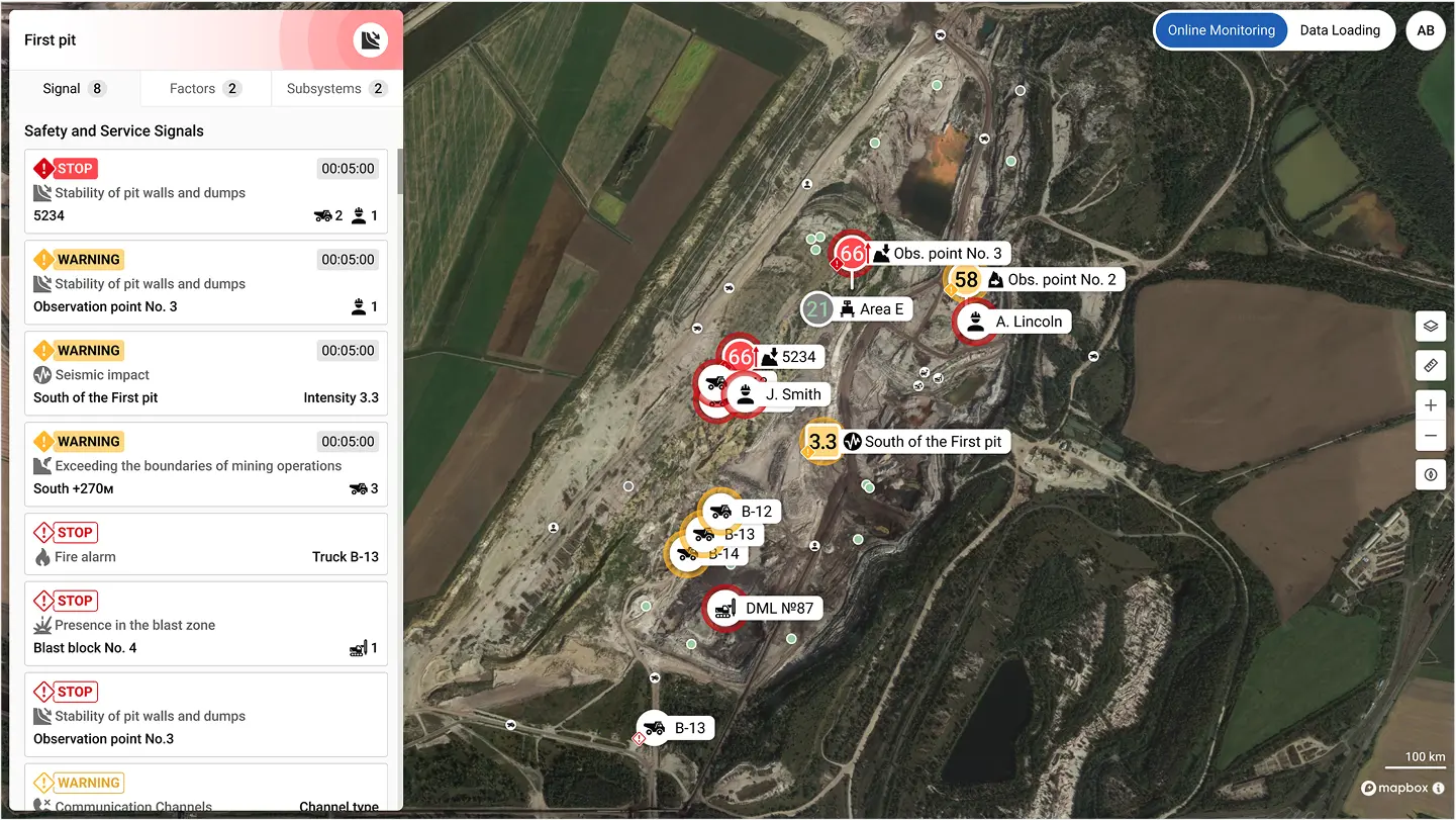
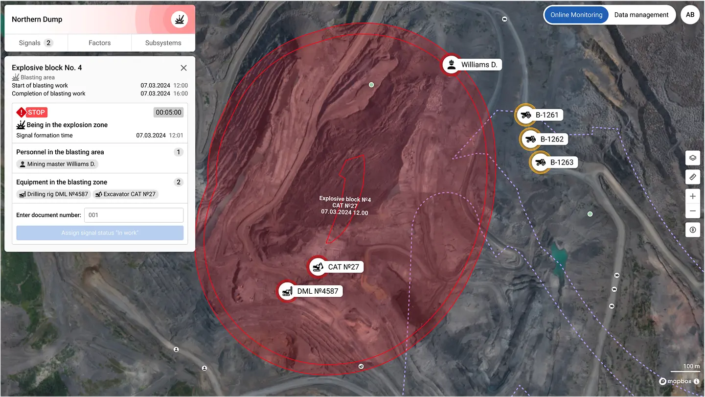
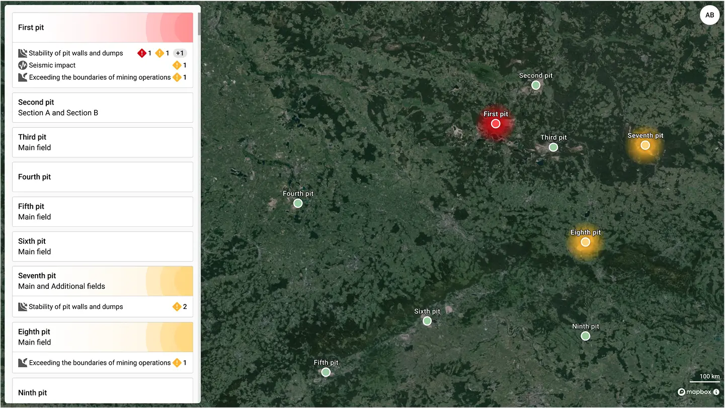
Designed and built a safety monitoring platform for coal mines and processing plants, aggregating data from diverse sensors (radars, gas detectors, GPS, radio, and more) into a single dispatcher interface. The system provides a digital twin of operations, showing realtime metrics, alerts, and object locations on interactive maps. Developed as a SPA (React, MapLibre) with a microservices architecture (Java Spring, Python, RabbitMQ, Kubernetes, MongoDB, PostgreSQL). Delivered a unified solution that replaced fragmented tools and manual monitoring, enabling faster incident response and improved operational safety.

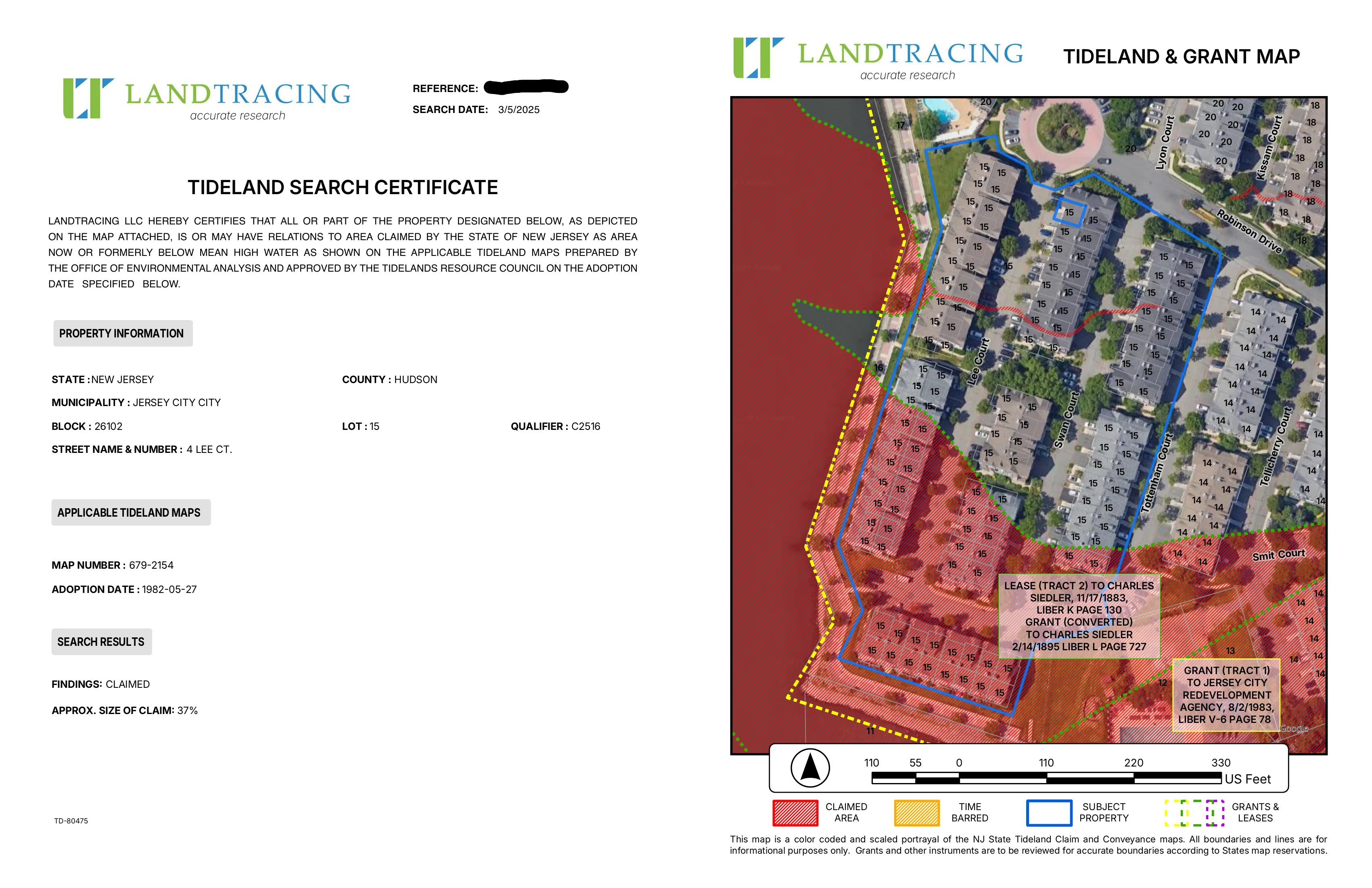
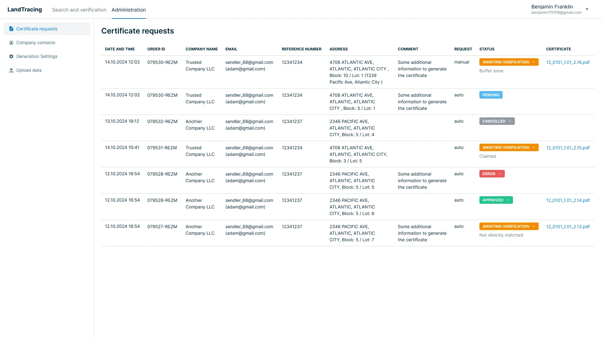
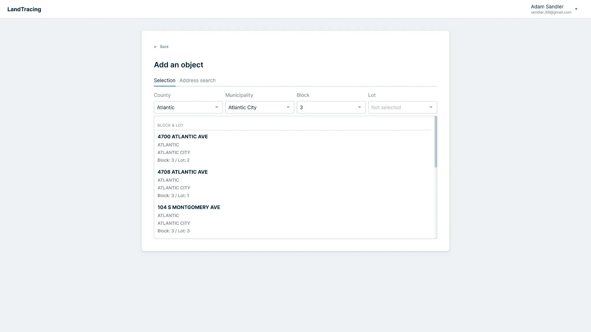
Land Certificate Automation Platform: Search, Geoprocessing, CMS — screenshot 1Land Certificate Automation Platform: Search, Geoprocessing, CMS — screenshot 2Land Certificate Automation Platform: Search, Geoprocessing, CMS — screenshot 3

Land Certificate Automation Platform: Search, Geoprocessing, CMS

pythonreactqgis serverpdffast api

Built a platform for LandTracing to automate land certificate generation across the US. Designed a system that analyzes parcels against protected and restricted zones using aggregated data from multiple sources. Developed a public interface for clients to search and order certificates (React, Figma) and an admin panel to validate and process orders. Backend (Python FastAPI, QGIS Server) automates spatial analysis and PDF certificate creation. Delivered a scalable solution that replaced manual workflows with an end-to-end digital process.

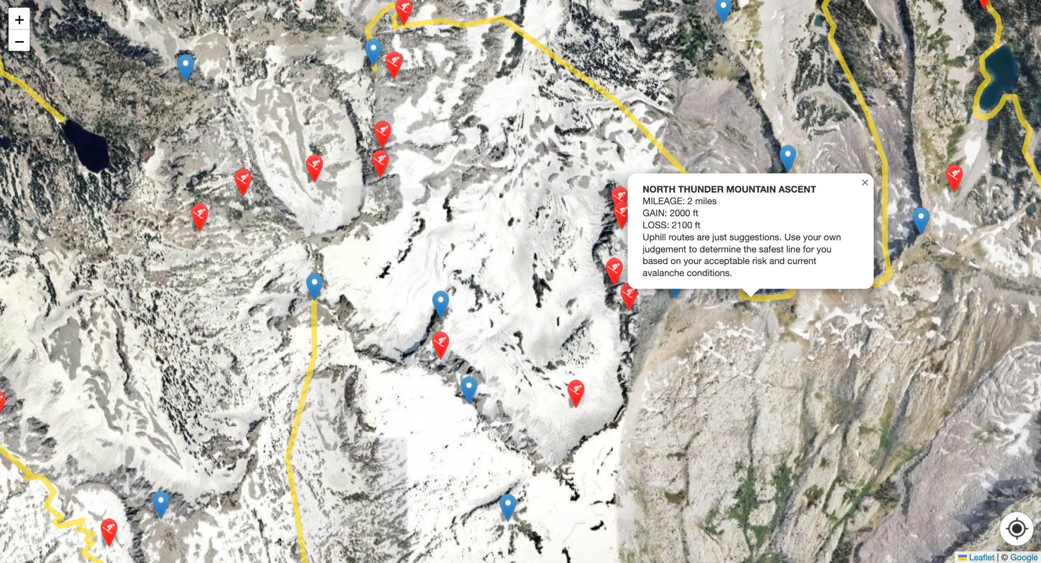
Ski Resort Maps with Offline Mode for Salt Lake City — screenshot 1

Ski Resort Maps with Offline Mode for Salt Lake City

javascriptphppwamobileleaflet

Integrated an offline mode for a ski resort mapping platform in Salt Lake City, USA, enabling seamless use in areas with poor connectivity. Automated the preparation of custom raster tile sets optimized for a lightweight web client (Leaflet). Delivered a responsive web application for both mobile and desktop users, allowing visitors to explore trails and resort details without an internet connection. The solution ensures reliable access to maps and enhances the user experience in remote mountain environments.

Automated 300+ Airport Maps Production — screenshot 1Automated 300+ Airport Maps Production — screenshot 2Automated 300+ Airport Maps Production — screenshot 3

Automated 300+ Airport Maps Production

qgisosmpythondigitizingadobe

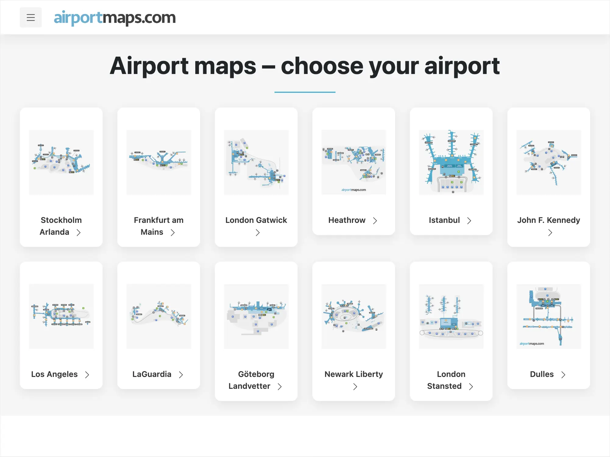
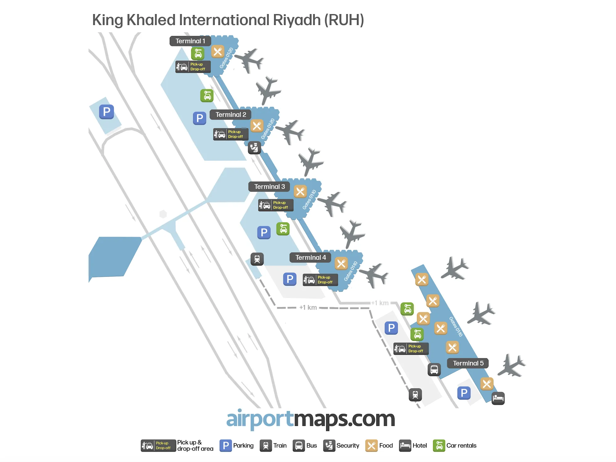
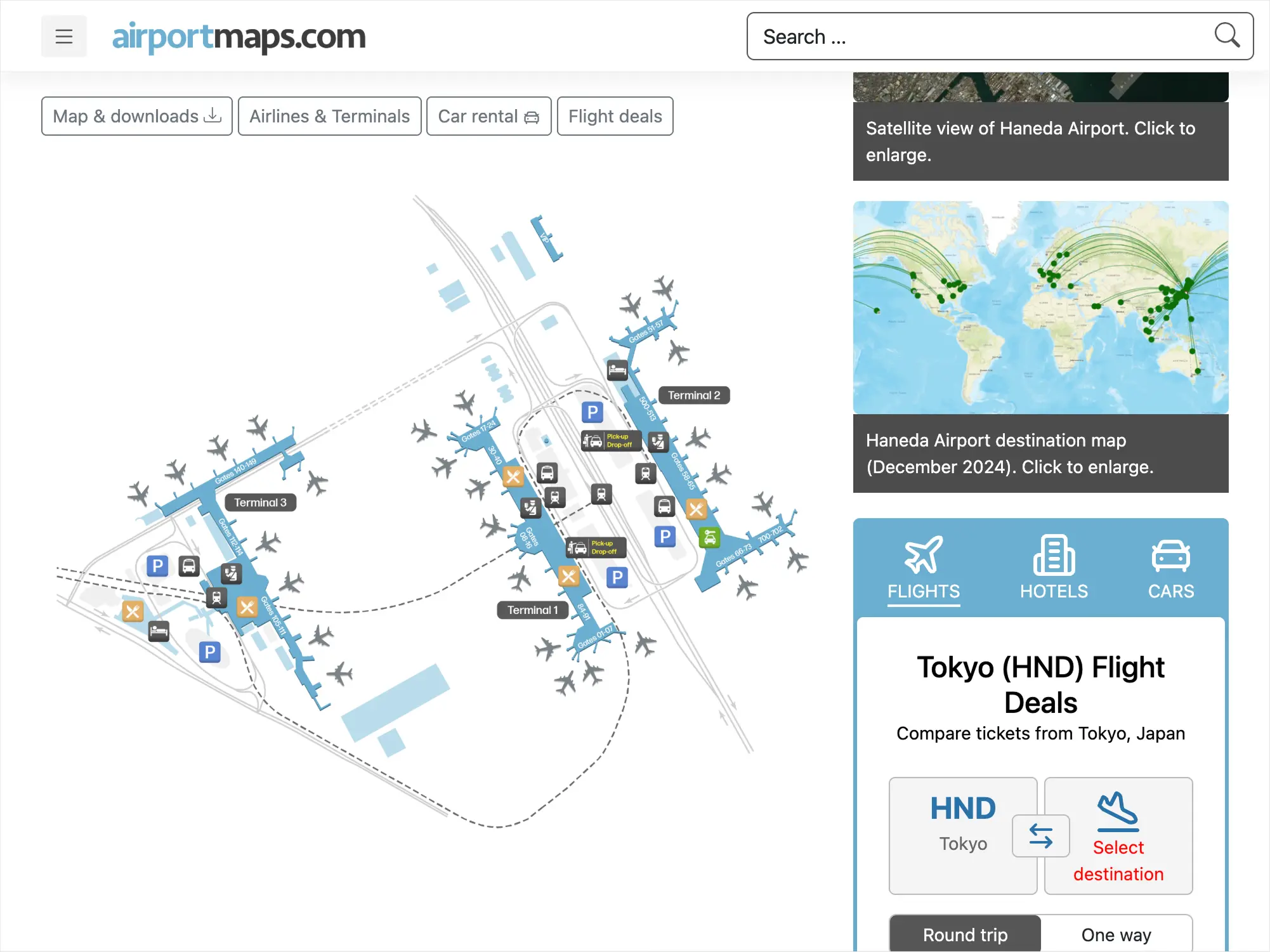
Prepared 300+ airport maps for airportmaps.com in 1.5 months, meeting tight deadlines. Developed automated scripts to extract and process OSM and official airport POI data (terminals, entrances, roads) globally. Automated styling and formatting cut production time by 50%. Designers finalized visuals for web and high-quality PDFs. Delivered accurate, user-friendly maps now live in production.

Try it
Georeferencing Automation for Logistics Tracks in NYC — screenshot 1

Georeferencing Automation for Logistics Tracks in NYC

qgisgeoreferencingpython

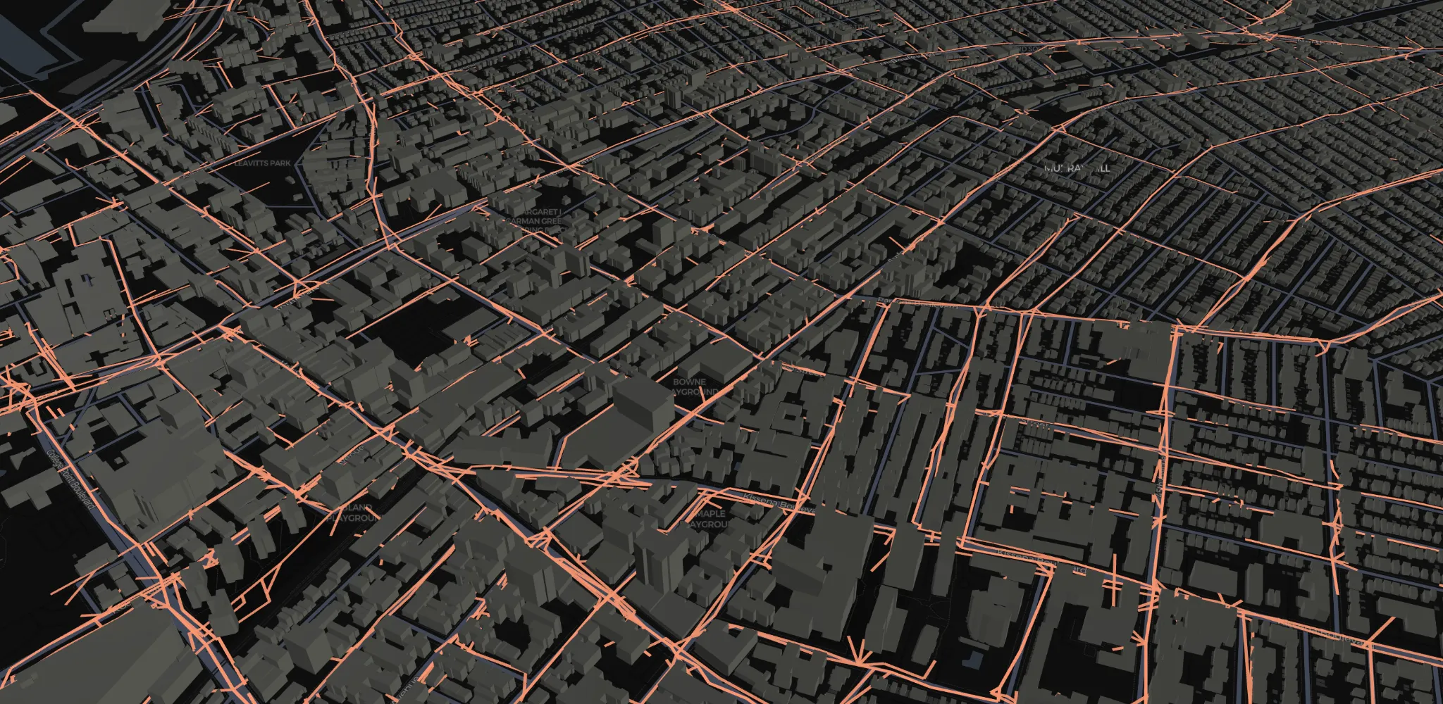
Processed and aligned hundreds of GPS tracks with unknown and inconsistent spatial reference systems (SRS) across different NYC districts. Delivered an automated workflow to detect and normalize coordinate systems, ensuring accurate mapping and integration for a logistics company. The solution streamlined track processing and reduced manual correction efforts.