
Not just A to B. Build the route worth taking.
Time2Route combines route planning, interesting places, stops, elevation profiles, and shareable links — all built around your route.
Your route, planned your way
Every route is a sequence of decisions. Here is how Time2Route turns a direction into a journey.
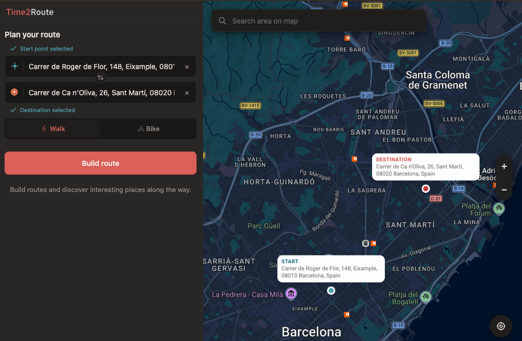
Start screen — set endpoints, pick a mode, and build the route.
Using the search bar, you can quickly find the place you need and set a route for it in a couple of clicks.
Walk or bike — different route, different feel
Time2Route supports two movement modes. When you switch the mode, your route will adjust to your type of movement and select interesting places nearby.
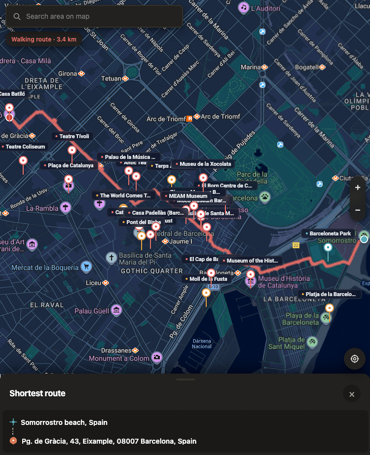
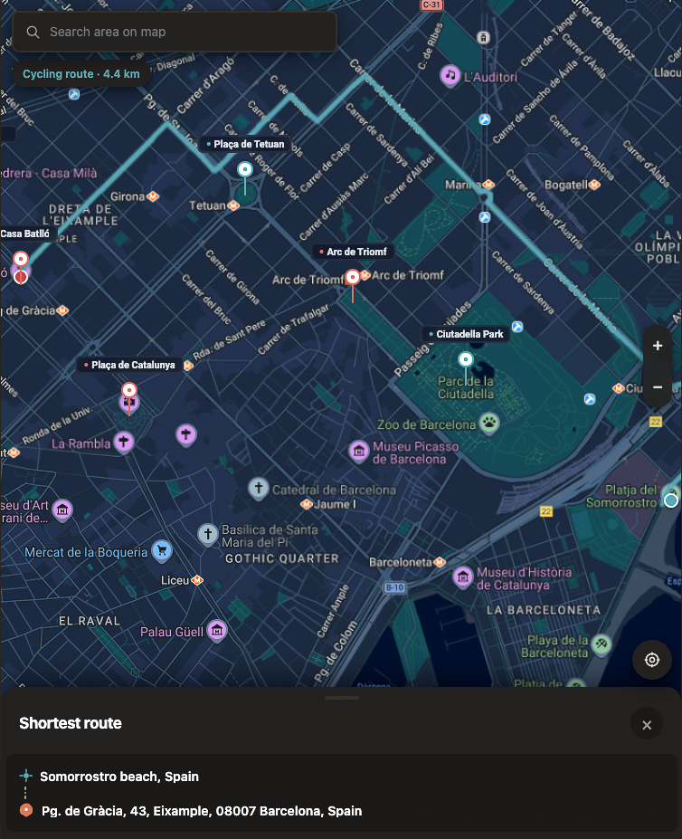
Walking vs cycling — same start/end, different route.
Interesting places near the route line
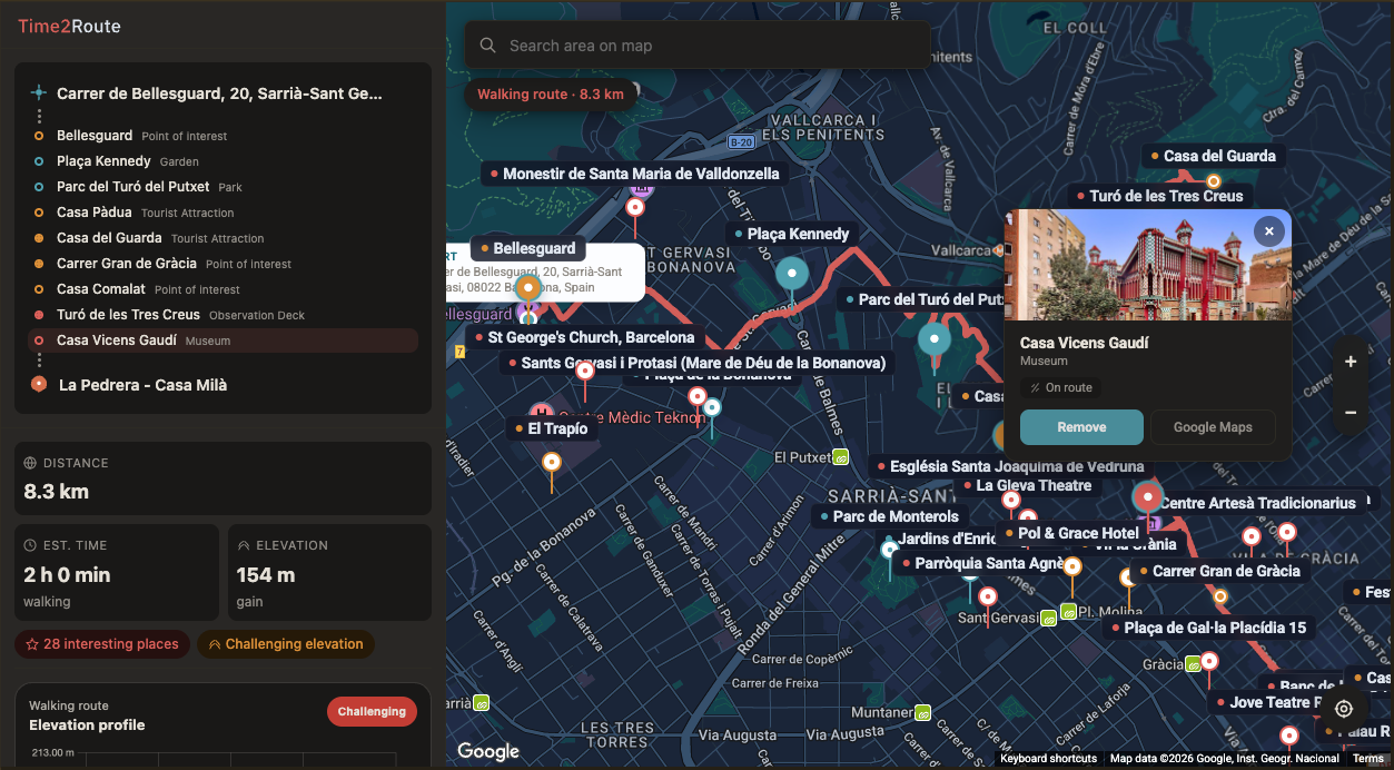
Time2Route finds interesting places in relation to the route you just built — not as scattered city-wide pins. Landmarks along the way, parks that make the walk feel more pleasant, viewpoints close enough for a short detour. The route is the filter, so discovery stays tied to the journey you are actually taking.
Stops on the route
Stopping turns the direction into a plan. Visit the observation deck, enjoy birdsong in the park, visit the outstanding museum — the route is recalculated around each stop.
Elevation that is easy to read
Distance and duration tell you how long. Elevation tells you how it will feel. One glance at the profile and you know where the effort is.
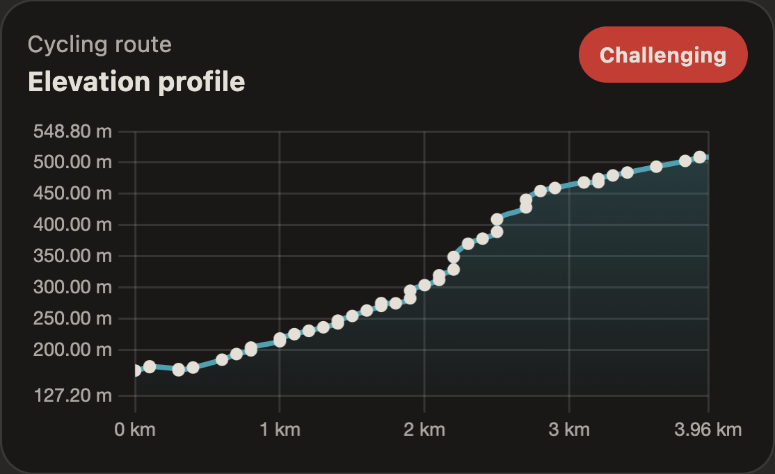
See steep sections before you start — no hidden hills mid-route.
A climb to a viewpoint looks different from a climb through a tunnel. Pick the one worth it.
Total ascent, max grade, rolling vs punchy — the profile tells the story in one glance.
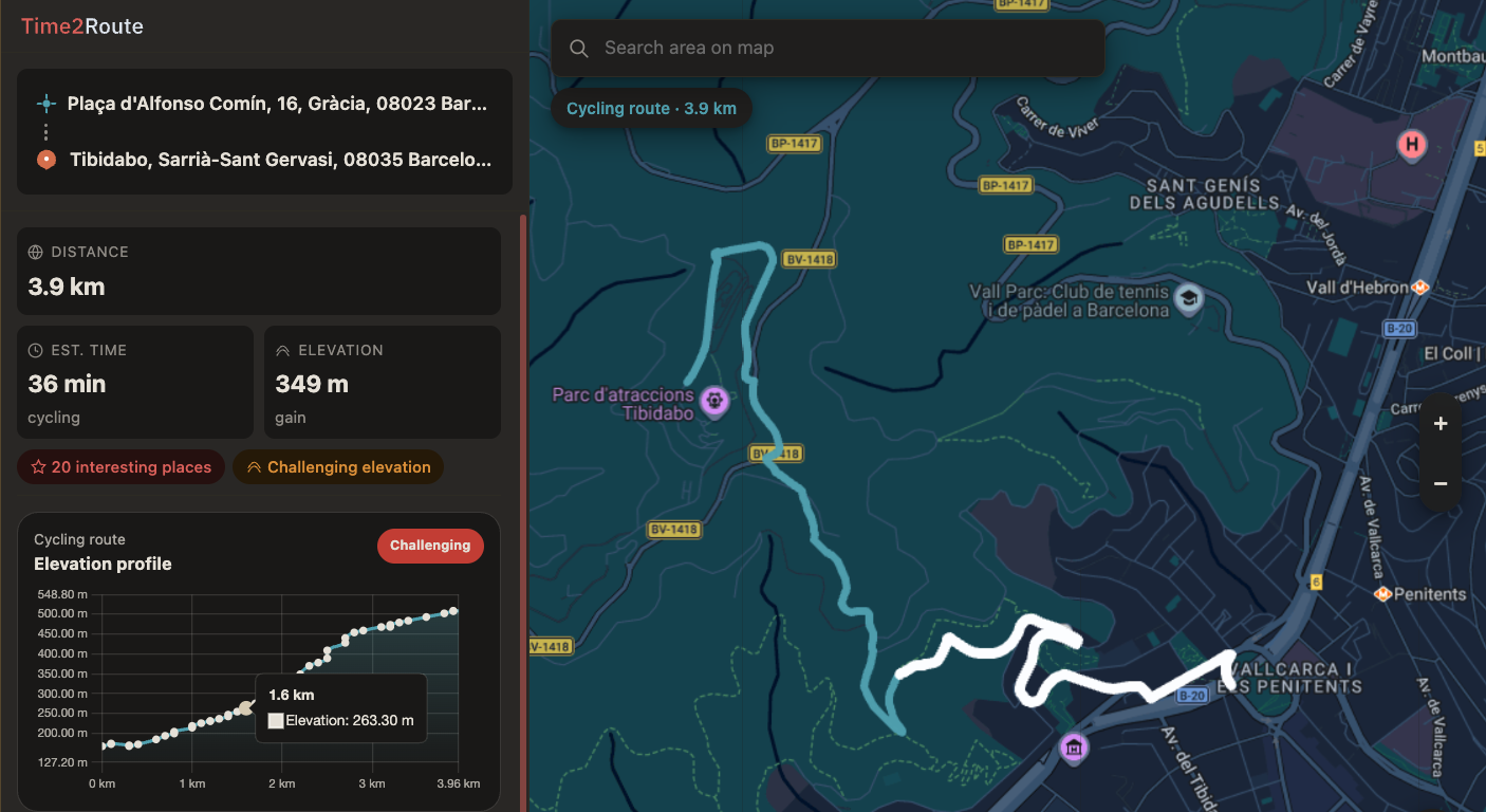
See it in action: a real route
Every Time2Route feature working together in one walk.
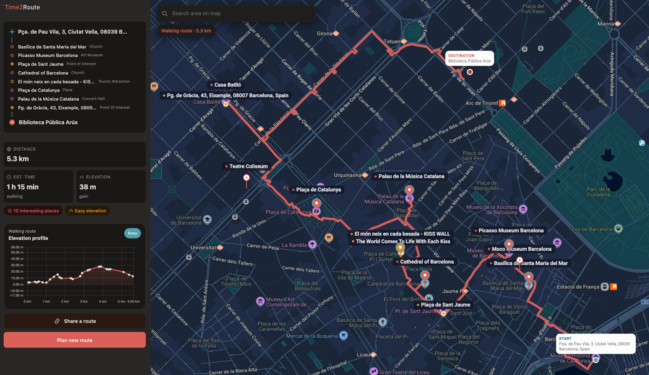
The app is opening inside the modal.
 View source on GitHub